What is realitycapture, and how does it build 3D models?
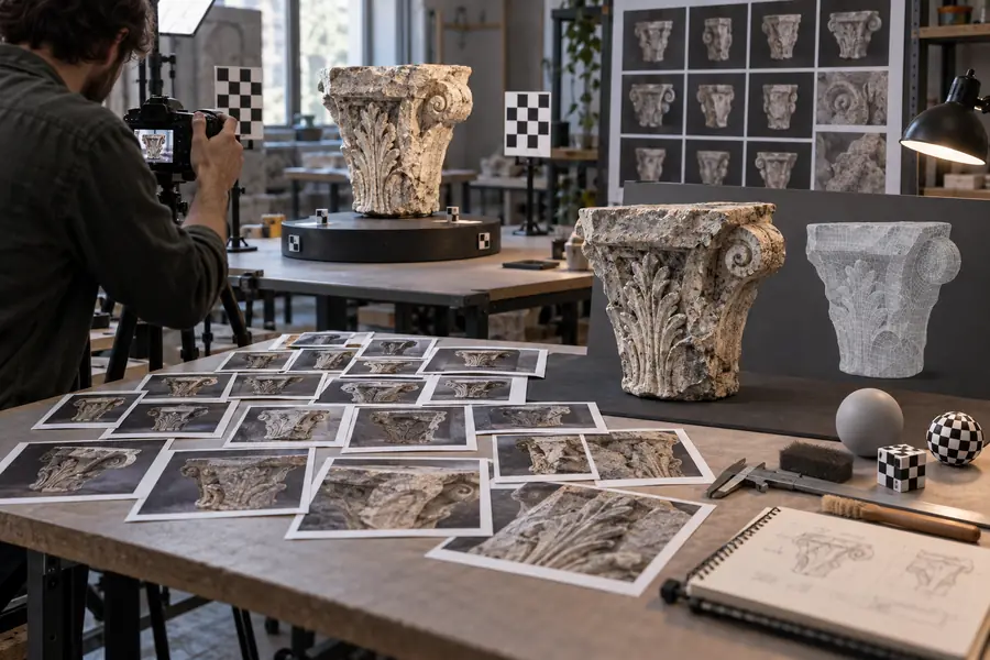
What is realitycapture? It is a photogrammetry workflow that turns overlapping photographs into measured 3D geometry, textures, and a navigable representation of a real subject or place.
RealityCapture works by extracting relationships between images before building and refining a spatial representation.
1
Capture overlapping views
Photograph the subject from multiple angles with enough overlap for the same features to appear in neighboring images. Stable focus, useful lighting, and clear coverage improve the evidence available to the reconstruction.
2
Align cameras and features
The workflow identifies matching visual features and estimates where each camera was positioned. This creates a sparse point structure that reveals the subject’s shape and the capture’s overall consistency.
3
Build, texture, and inspect
The aligned data is converted into denser geometry and image-based texture. The finished result should then be checked for holes, noise, blurred areas, scale issues, and parts that were never visible.
At a glance
RealityCapture compared with a manual 3D workflow
The distinction is not that software removes every decision; it changes where the effort is spent.
RealityCapture workflow
Manual 3D workflow
Primary input
RealityCapture workflow
Overlapping photographs of the real subject
Manual 3D workflow
Artist-built geometry, measurements, or reference images
Shape creation
RealityCapture workflow
Estimated from shared features across images
Manual 3D workflow
Constructed by hand with modeling tools
Surface detail
RealityCapture workflow
Derived from source photographs and projected as texture
Manual 3D workflow
Painted, sculpted, or sourced separately
Camera evidence
RealityCapture workflow
Camera positions are inferred from image relationships
Manual 3D workflow
Usually not part of the modeling process
Human judgment
RealityCapture workflow
Capture planning, cleanup, scale, and quality review
Manual 3D workflow
Topology, proportions, detail, and surface decisions
Best starting point
RealityCapture workflow
A real object, site, or environment that can be photographed
Manual 3D workflow
A design that does not yet exist or cannot be captured clearly
Common weakness
RealityCapture workflow
Missing views, reflective surfaces, and repetitive detail
Manual 3D workflow
Time required to reproduce complex real-world variation
From evidence to output
The visible difference a reconstruction makes
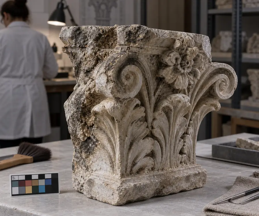
A single photograph records one view; a reconstructed asset connects many views into a spatial object that can be inspected from new angles.
Source photograph
Reconstructed model
The output is only as reliable as the coverage and clarity of the source images.
The essential shift
Three dimensions of the workflow
These are the core facts to remember when explaining RealityCapture to a new user.
Photographs provide the visual evidence for reconstruction.
2Dimages
Aligned evidence becomes a spatial model rather than a flat record.
3Dgeometry
Capture quality and model inspection remain part of the same workflow.
1review loop
Limits and edges
Where the method needs help
Photogrammetry is powerful, but it cannot recover information that the photographs never captured clearly.
It cannot see hidden surfaces
A model cannot reliably reconstruct the underside, interior, or occluded side of an object when no useful image evidence reaches it.
Workaround
Capture those areas separately, reposition the subject, or combine image data with another measurement method.
Reflective and transparent materials are difficult
Glass, polished metal, glossy plastic, and moving reflections can confuse feature matching because their visible patterns change between photographs.
Workaround
Use diffuse lighting, reduce reflections where possible, and treat uncertain surfaces as areas requiring manual cleanup.
Scale is not automatic
Photographs can describe relative shape without establishing a dependable real-world size on their own.
Workaround
Include known measurements, survey control, or a reference object and verify scale before using dimensions.
It does not replace quality control
Alignment can succeed while the model still contains noise, holes, blurred texture, or geometry caused by unwanted background detail.
Workaround
Inspect the result from multiple views, remove bad regions, and regenerate or refine the affected areas.
Common questions
FAQ about what is realitycapture
A short answer to the core definition, followed by the practical details that usually shape a first project.
RealityCapture is an image-based 3D reconstruction workflow. It uses overlapping photographs to estimate camera positions, recover visible shape, and produce textured 3D data that can be inspected or exported.
RealityCapture is a software workflow used for photogrammetry, while photogrammetry is the broader technique of measuring and reconstructing objects or spaces from photographs. The terms are closely related, but one names the tool and the other names the method.
Depending on the source images and processing choices, it can create aligned cameras, point data, meshes, textures, and other scene information. The useful output depends on whether the project is focused on visualization, documentation, mapping, or measurement.
It needs clear photographs with substantial overlap and enough variation in viewpoint to reveal the subject’s surfaces. Consistent focus, stable exposure, good lighting, and coverage of difficult areas generally produce more dependable results.
No. It cannot infer surfaces that were hidden, transparent, reflective, moving, or poorly photographed with complete confidence. Careful capture and later cleanup can improve the result, but the model remains an interpretation of the available visual evidence.